

|

|

|

|

|
|
|
![]()
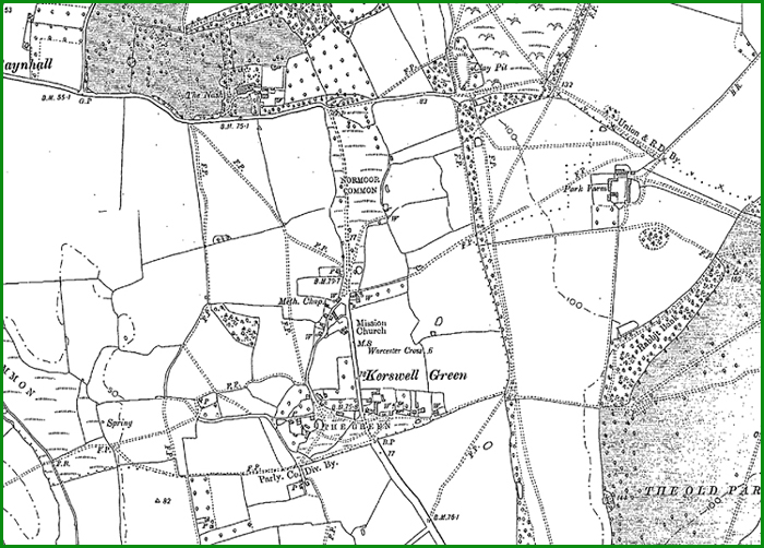
Here is a 1903 Ordnance Survey Map of the hamlet
The M5 was costructed over the route of a Roman road, on the modern OS map the Roman road is marked as a bridleway where its path diverges from the motorway and leads towards Napleton and then public footpaths trace its route towards Worcester.
You can read a formal history of the parish of Kempsey online at A History of the County of Worcester: volume 3 which was published in 1913.
Less formal but very interesting is Andy Morrall's The History of Kempsey which includes a surprising picture of The Nash after a WW2 German bombing raid!
